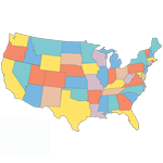
 Paul wrote in and asked if I could make a Blank USA Map he could use for info graphics.
I redrew both a very detailed and a simple version of a map of the US. One map includes state names while the other doesn’t.
I provide these maps in EPS format. Each state is separated from all of the others. This should make it very easy to turn them into info graphics, or whatever else you’d like.
You can use these maps for free of course.
Blank USA Map
Here is the link for the blank EPS version of the US Map Blank USA Map. It looks like the following
Detailed USA Map
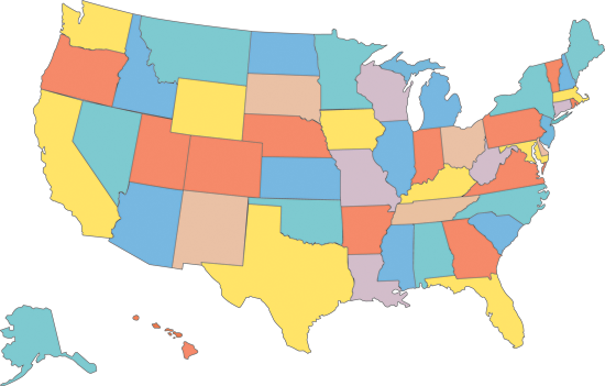
Here is a more detailed version of the map above. It also includes the state names and can be had here Detailed USA Map. This is what it looks like

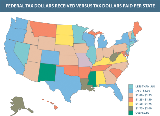
For the people that don’t know this is an example of an info graphic. I show here the Federal Tax Dollars Received vs. Tax Dollars Paid per State in the United States.
How to Edit EPS Files
EPS is a pretty widely used vector file format. You can of course edit these files using Adobe Illustrator, but there is also a free alternative called Inkscape.
I’ve been wondering if there is an interest in Inkscape tutorials? If you’d like to see one leave your request below.
If you’d like me to create a special EPS file for you, leave those requests below as well.
Till Next Time
One thought on “Blank USA Map”